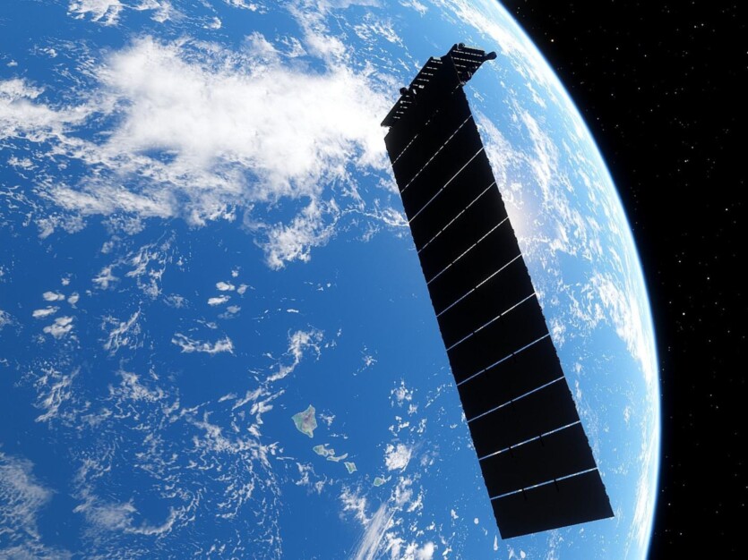
Austrian scientists from the Institute of Geodesy at the Graz University of Technology used satellite signals Starlink for climate change monitoring.
The new approach is to use hidden satellite signals to monitor climate change on Earth in real time. Scientists used the Doppler effect the phenomenon of a change in the frequency of a wave recorded by a receiver caused by the movement of a source or receiver. to analyze signals from Starlink and other satellite networks to monitor changes in sea level and weather conditions.
Reliable satellite data is one of the most valuable sources in climate change research. The more sources of information available to researchers, the more accurate the conclusions they can draw.
Until recently, scientists considered a large The omission is that thousands of satellites orbiting the Earth, do not allow using their own signals to position and monitor climate change on the planet However, as part of the FFG Estimation project, Austrian scientists have found a way to use these signals.
By combining them with information from navigational research satellites, scientists aim to improve mechanisms for monitoring environmental changes. Satellite observation of the Earth is based on detecting changes in sea level, groundwater and other environmental factors. They affect the Earth’s gravitational field, slightly changing the trajectories of satellites
By analyzing these orbital changes of the satellites, scientists can obtain valuable information about our planet.
«The growing availability of satellite Internet means that we have a huge number of communication signals at our disposal, which far exceed the signals of navigation satellites in terms of quantity and strength If we can now use these signals for our measurements, then we not only have the best signal availability, but also much better temporal resolution thanks to the large number of satellites. This also enables us to observe short-term changes. This means that in addition to determining the position and changes in the Earth’s gravitational field, which are important for climate research, weather events such as heavy rain or sea level changes can also be monitored in real time», — explains Philippe Berglez from the Institute of Geodesy.
What difficulties do scientists face when processing commercial satellite signals?
One of the key problems during the project was that satellite operators, including Starlink, OneWeb, and Amazon Kuiper, did not provide any information about the structure of satellite signals. Moreover, these signals are constantly changing.
Scientists also do not have accurate data on the orbital position and distance of these satellites, which can lead to errors and inaccuracies in calculations.
However, by analyzing the signals of the Starlink satellites, they found additional sounds in the signals and used the Doppler effect to determine the frequency shift of these constant tones as the satellites moved toward and away from the receiver
This allowed the scientists to determine the satellite’s location with an accuracy of 54 meters, although this does not yet fully satisfy the conditions for geodetic applications. So far, the research has used only a fixed satellite antenna to test and verify the key measurement principle.
Now scientists are focusing on improving the accuracy of signal measurement to several meters. This will be made possible by antennas that can either follow satellites or receive signals from different directions
In addition, the researchers insist that measurements should be taken in several locations simultaneously to improve accuracy and reduce errors.
With more measurement data, researchers can calculate more accurate orbit data, which in turn makes positioning and calculating the Earth’s gravitational field more accurate. The Navigation Working Group also wants to develop new signal processing methods that filter out more accurate measurement data from signals that have been quite unusual for geodetic applications until now.
«Now it’s all about improving accuracy. Once we achieve this, we will be able to understand even more precisely what changes our world is undergoing. Just to be clear: we analyze communication signals, but we can’t and don’t want to know their content. We only use them for positioning and observing orbits to determine the Earth’s gravitational field», — emphasizes Philippe Berglös.
Source: SciTechDaily

Spelling error report
The following text will be sent to our editors: